The skies are clear in New York City and across the US Northeast, but the worst fires in Canadian history are still burning so the smoke that drove millions of people indoors this week may still return.
Air quality levels from Philadelphia to Maine were mostly in the good range as of Saturday morning, according to AirNow.gov. However, conditions remain in the moderate range further to the south and across much of the eastern half of the US as hundreds of blazes continue to burn in Canada.
“If the fires are still burning, it can come back,” Jim Connolly, a meteorologist with the National Weather Service’s office in Upton, New York, said by phone Saturday. “The smoke is just getting moved around. It’s not like it disappeared.”
Read More: NYC, DC Lag Western States in Wildfire Smoke Preparations
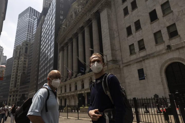
He expects some smoky conditions to return to the New York area late Saturday night and into Sunday. However, it won’t be nearly as bad as recent days, when the haze was so thick that buildings seemed to disappear into the gloom and so many people stayed home that restaurants and bars closed early for lack of customers.
The big change is that a low-pressure zone off the Northeast coast is starting to break up. That zone had parked itself for days, channeling winds that delivered the smoke directly to New York and the Mid-Atlantic, said Zack Taylor, a meteorologist with the US Weather Prediction Center in College Park, Maryland.
As the low pressure area starts to disperse, the winds are fanning out in more directions, spreading the smoke across a wider area.
“We might still have to deal with some bouts of smoke,” Taylor said. “Definitely things have improved on the East Coast. Most of the smoke has dispersed.”
Read More: Canada’s Wildfires Expose the Climate Change ‘Spiral of Silence’
--With assistance from Brian K. Sullivan.

